Business & Program Development
Aviation Business & Program Development Consultancy services for aviation-related ventures, including training program setup and strategic partnerships.

Services
Everything Oscar One builds — from consultancy and pilot training pathways to unmanned systems, full-flight simulators, and accredited TVET education — ships under one accountable structure.
What we do
We deliver core solutions across commercial aviation, unmanned drone operations, facilitate entry process for pilot training, and accredited TVET education. By combining flight operations with hands-on technical training, we provide end-to-end aerial capabilities and build mission-ready talent for the aerospace industry.
Built to international standards—engineered for mission-critical execution where compromise isn't an option.
Aviation Business & Program Development Consultancy services for aviation-related ventures, including training program setup and strategic partnerships.
Advanced unmanned aerial systems, specialized payload integrations, and high-precision mapping and inspection operations.
Pilot Training Pathways End-to-end solutions from student recruitment to certified pilot training programs with recognized aviation academies.
State-of-the-art Full Flight Simulator (FFS) facility designed for commercial pilot training, proficiency checks, and advanced flight programs adhering to the highest safety standards.
Aviation Education Programs Structured learning pathways designed to prepare students for careers in aviation, both locally and internationally.
Capabilities & portfolio
A selection of the work we ship — from centimeter-accurate mapping to beyond-visual-line-of-sight logistics. Filter by domain.
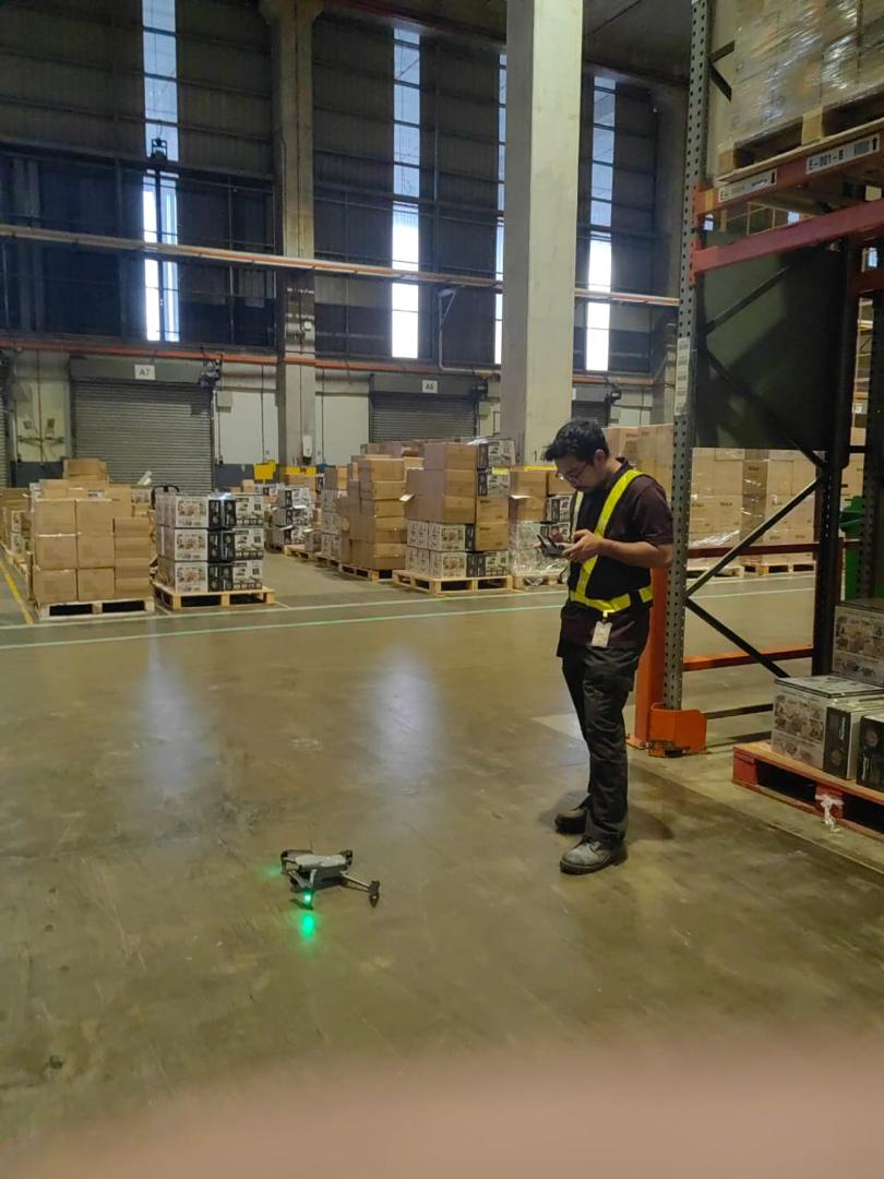
Stock counting a warehouse with 99.9% accuracy, cutting the process from 3 days to 3 hours.
Autonomous spraying of oil palm area seedlings with precision GPS and flow control.
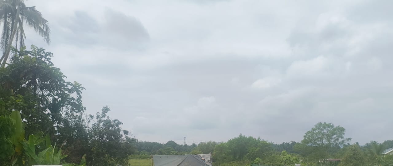
Autonomous perimeter surveillance of plantation area with AI-assisted intrusion classification.

Network and WiFi application for Leonardo, a leading aerospace and defense company, to enhance connectivity and communication in their operations.
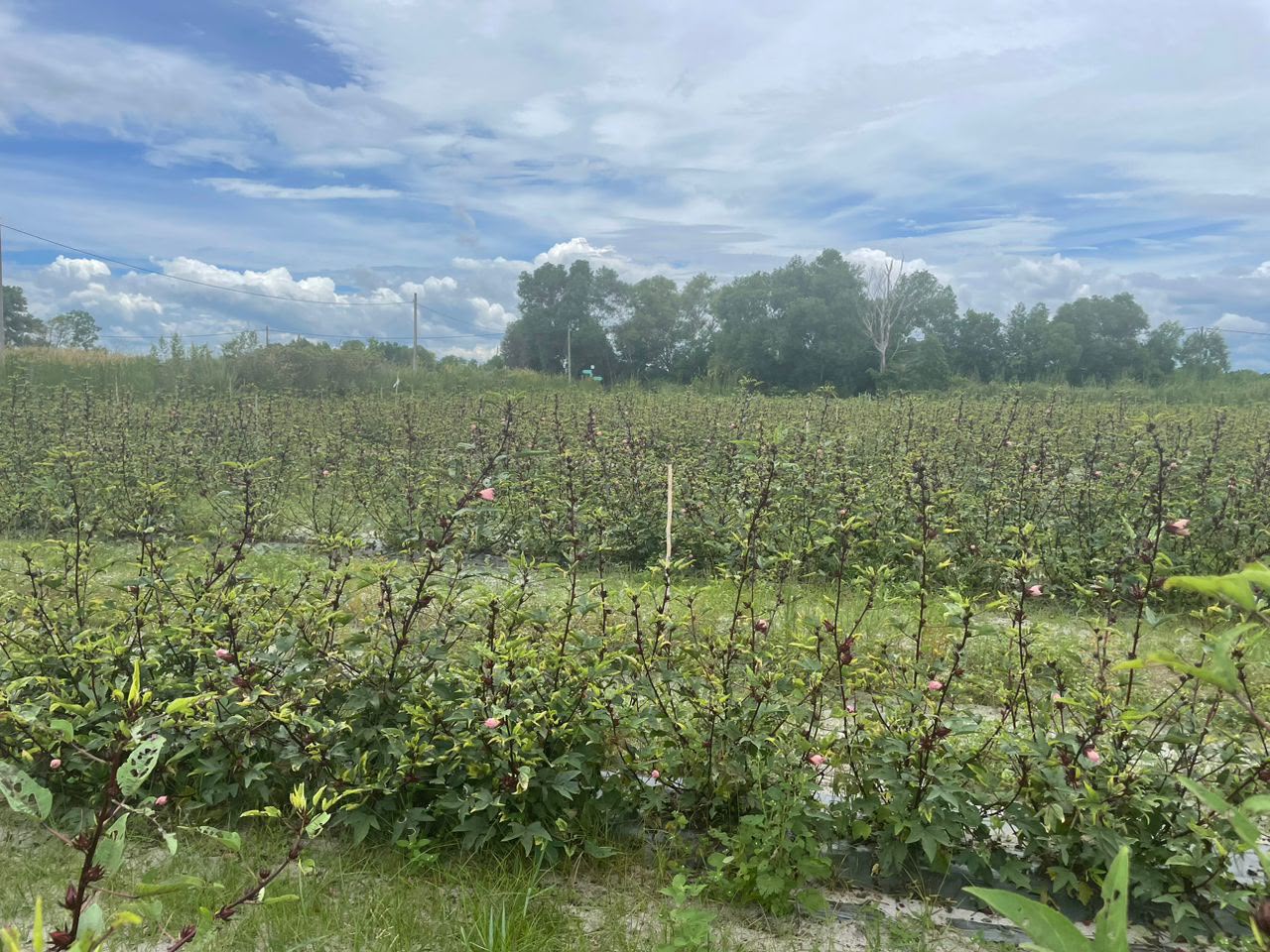
Surveying and mapping plantation area using high-resolution aerial imagery and GIS technology for accurate land assessment and planning.